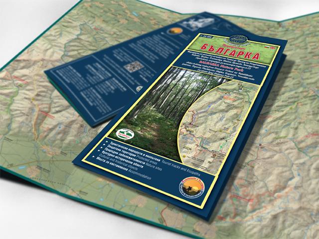


A new updated edition of the tourist map of Bulgarka Nature Park has been published. It is in the series tourist map “Mountains of Bulgaria-series of traveler”. The edition is with updated vision and map basis.
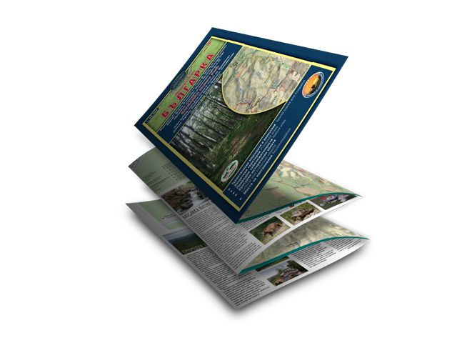
SPECIFICATIONS OF PRINT EDITION
- Type: Tourist topographic map;
- Scale: 1:50 000;
- Size: 12/22сm (folded); 70/100 сm (open);
- Coverage: Ridge of Stara Planina from Uzana (West) up to Pass of the Republic (East);
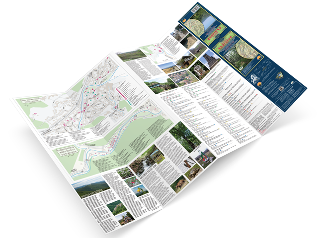
- Content:
– Protected areas, natural landmarks and reserves;
– Republican road network, forest roads and paths;
– European tourist route E3 ( in map coverage), updated marked tourist routes and eco paths;
– Accommodation – hotels, huts, shelters;
– Tourist and cultural-historical places;
– Information about the Bulgarka Nature Park;
– Map of the cultural and historical landmarks in the town of Tryavna;
– Map of the Regional Ethnographic Open Air Museum Etar;
– Map of village Voneshta Voda Map and landmarks in the region.
This map is joint work with the Bulgarka Nature Park Directorate.
HERE for orders and inquiries